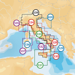
Nautical cartography Navionics Cartography Navionics + Small with SD/Micro SD support (1) kr1,613.35 Essential details, including port plans, selectable safety bathymetry, list of phone numbers, and more. Check before purchase for compatibility with your instrument. View
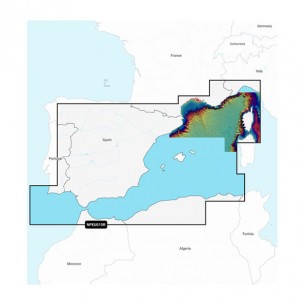
Product available with different options Nautical cartography Navionics Cartography Navionics Platinum+ with SD/Micro SD support kr3,004.94 PLATINUM+ CARTOGRAPHY Maps Navionics Platinum+ ™ include all the content of Navionics ® + cartography, with integrated mapping for sea and inland water navigation, more than 42,000 lakes, and additional display options for Relief Shading, satellite imagery with SonarChart shading, 3D visualization, aerial photos, and more. View
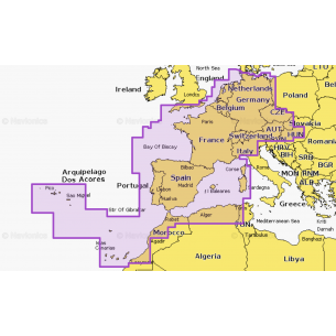
Nautical cartography Navionics Cartography Navionics+ with SD/Micro SD support (1) kr1,936.03 NAVIONICS+ CARTOGRAPHYNavionics + cartography provides nautical maps for navigation at sea and in inland waters, featuring rivers, inlets and more than 42,000 lakes around the world. This all-in-one solution provides clear and reliable cartography for the widest range of GPS plotters. Add to cart